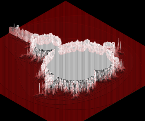
A straightforward 3D height-map rendering tool. It enables model rotation, with colors determined by the height's relative values on the map. Additional features are in the pipeline!
Key Functions:
- Streamlined file format specification (an array of integers separated by spaces).
- Interactive 3D model rotation via keyboard input
- Camera manipulation options for zooming and translating.
To compile the program.
$ makeYou can run the program using one of the test maps available in the repository.
$ ./fdf test_map/map.fdf